How The Process Works
To locate groundwater accurately and to determine the depth of water several techniques must be used.
- As a first step geologic maps and cross sections showing the distribution and positions of the different kinds of rocks, both on the surface and underground are reviewed.
- Arial photographs of the property are used to correlate your specific parcel to the mapped geology.
- Electro-Seismic soundings are performed on the property to scientifically survey your ground water resource.
By incorporating local geologic information, along with the indications from our electro-seismic data, we are able to provide our clients with the most accurate scientific analysis available regarding correct drilling site and depth – all for a fraction of the cost of drilling test holes blindly!
Electro-Seismic Process
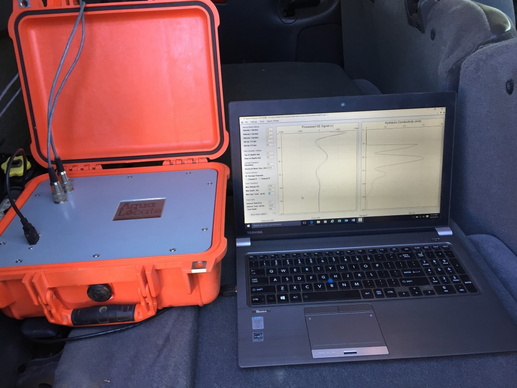

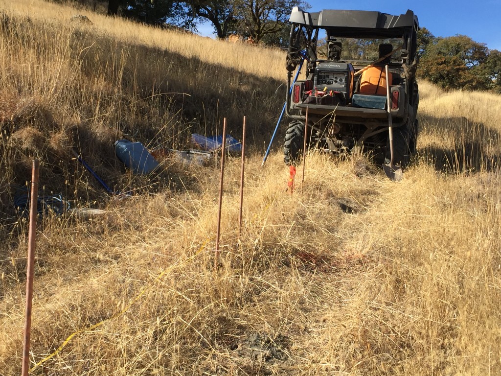

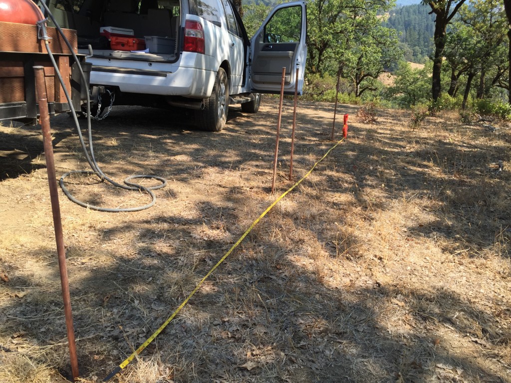
The GF6 and a seismic source are used together to generate and collect the seismoelectric signal. The seismic source is used to create a sound wave (pulse). When the sound wave moves through aquifers the water in the aquifer moves relative to the rock formation. Ions in the water are dragged away from their partners bound to the rock and the electrical disturbance created travels to the surface at the speed of light and is detected by the antenna array. Each signal is separated in time from its neighbors by the propagation time of the down going seismic pulse. This gives unambiguous depth and thickness data, as with reflection seismic. The form of each signal gives information about the depth, thickness and quality of the aquifer and this is used to estimate the likely yield from a water well drilled at the survey site.
We do this by sending a seismic compression wave into the earth which, when encountering a groundwater aquifer, (water saturated rocks, fracturing, sand and gravel) it produces a small but measurable electric signal that is then received by our computer instruments on the surface. Our patented Groundflow instruments have the capability to identify the groundwater at each test site. The collected data is then processed for interpretation of the depth and estimated yield of the well at each site tested.
Existing Wells Provide Clues
Existing wells on site or wells on neighboring properties can be useful in further calibrating our equipment to the local geology. This technique can increase the accuracy of field data collected during our survey.
Our mission is to help our clients to have the most reasonable assurance of drilling a successful well in the most productive location on the property, and to prevent the disappointment and the expense of drilling a dry well.